Book Review: Longitude by Dava Sobel
Seafarers and individuals who are interested in naval navigation may know how hard it was to travel by sea in the early days when the ships longitude could not be discovered. Dava Sobel in his book "Longitude" showcases a true story of a solo genius who went to great lengths to solve one of the greatest scientific problems of all time.

Dava Sobel - Author of "Longitude"
The quest to locate longitude may seem archaic especially in the modern world because of global positioning and satellites. However, the ability to describe and find out exactly where a person is can be termed as one of the most important stories of discovery that can be read in a brief, straightforward and entertaining account in Dava's book. The book explores the subject of longitude deeply as well as the problems that were present when looking for it. The book also goes ahead to narrate the fascinating story of the
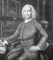
prize money amounting £20,000 pounds that was offered in 1714 by the British Parliament to anyone who would offer practical solutions of finding longitude and a man who was known as John
Harrison who spent a better part of his life trying to get the prize.
John Harrison (1693-1776)
It is common knowledge that the longitudes are the vertical lines found on the globe while the latitudes are the horizontal ones. These lines have been present for a long time and date back to 3000 BC. Ptolemy who was a Greek geographer located in Alexandria established the latitudes and longitudes on his maps in 150 AD. The latitude was established easily established by measuring the path of the sun that passes over the equator directly. Finding the longitude however was more arbitrary where Ptolemy had to coy the entire circle of the earth and set zero at the Canary Islands.
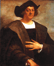
The desire for measuring the longitudes accurately became more apparent at the discovery stage. This was a difficult to come by because
Columbus could not measure the longitude one of the reasons why he only used the latitude. Sailors also relied on the latitude for very many centuries to track the sun to know when it was time to rest. Johannes Werner a German Astronomer came up with a method to use the motion of the wind in 1514. This was supposed to be used as a location finder. It involved mapping out all the stars, planets, sun and skies and measuring the relation they had with the moon at various locations and times.
Christopher Columbus (1451-1506)
This was a very complicated method especially for the sailors who worked at sea.
Galileo in 1619 came up with a new and simpler method to fix the longitude through measuring eclipse cause by moons in Jupiter. This was a very reliable method but is also featured some complicated calculations. These combined with the cloudy skies was one of the reasons why the method did not become very popular. Another method of calculating the longitude as discussed by the book is where a person as to learn the seas longitude to know the time they would get on the ship.
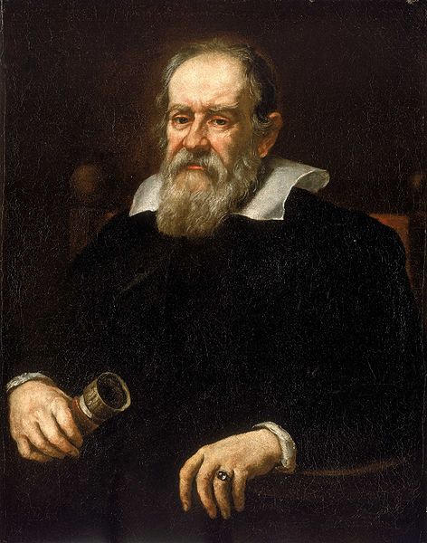
Portrait of Galileo Galilei, 1636.
There are 2 clock times that allow the navigator to change the hour differences into geographical separation. This is where an hour marks fifteen degrees or 1/24 of a spin because the at least 24 hours to make a full revolution of 360 degrees. This means that the time difference in each hour between the starting point and the ship will mark a progress of 14 degrees of longitude to the west or east. Thus every day at sea when the sailor resets the ships clock, there should be an hour's discrepancy that results in a 15 degrees longitude. This is a much simpler method that could be used with ease. More great book reviews and work of other authors, can be find on Amazon.